Research IT News
RSE Department Commitments to Researchers


Our Research Software Engineering (RSE) Department has launched its new Terms of Engagement, setting out a series of commitments from RSEs and researchers governing how we collaboratively deliver our services and help the research we support produce the best possible outcomes.
Promoting C++ at the University
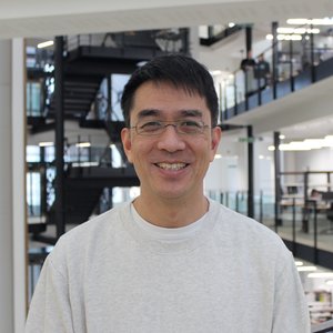

Meet Dr Raymond Wan, Research Associate in the Department of Chemistry and one of the leads of the University C++ User group. Discover how they are reaching out to C++ users across the University and how you can get involved.
Free Agile Project Management Training
The Research IT Agile Methods Working Group within our Research Software Engineering (RSE) department, in collaboration with University College London (UCL), has secured funding from DisCouRSE Network+ to deliver free Agile project management training to digital research technical professionals (dRTPs) across N8 universities (including the University of Manchester) and UCL.
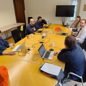
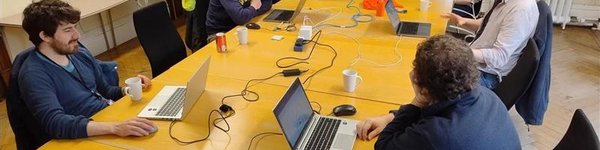
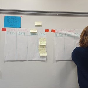
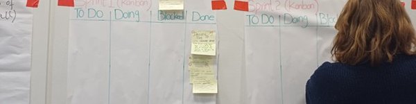
Learning from User-Centric Design, Systems Thinking, and Agile Practice

Members of our Research Software Engineering team recently attended a one-day workshop organised by the Advanced Research Computing team at the University of Leeds. Find out what was discussed and share their insights from the day.
Building an App to Collect Restricted Data?


When building applications, it is important to ensure that they are hosted appropriately. Secure Web Platforms (SWP) is a service offered by Research IT’s Highly Restricted Data Services (HRDS) Team that provides a hosting platform to meet even the strictest data security requirements.
Expanding Agile Training Beyond RSE
Our Research Software Engineering (RSE) department has launched a new Agile learning pathway designed for both technical and non-technical dRTPs — Agile Fundamentals and GitHub Tooling for Agile courses — using LEGO, Minecraft, and collaborative GitHub exercises to build team collaboration, leadership, and practical agile project management skills.
Engineering Software to Support Smarter Antibiotic Decisions


Our Research Software Engineering department recently completed a project to develop and deploy a unique knowledge support system into GP practices to support research into the over-prescription of antibiotics. Find out how they did it.
Supporting the University UK Biobank User Group

The University special interest and user groups could not happen without the input of the group leads. Meet Dr Robert Maidstone from the School of Biological Sciences who is one of the leads for the UoM UK Biobank Users group.
Green Compute for Research @UoM


A new special interest group has been launched for anyone interested in the environmental impact of research computing at the University. Find out more about the aims of the group and how to get involved.
Coming up in 2026 from Research IT


We didn’t quite make the end of January but there’s never a bad time to look at what's coming up in Research IT. We asked the three departments in Research IT what they are looking forward to this year.
Research IT Showcase at SuperComputing25
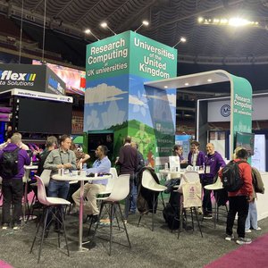
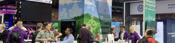
The renowned SC25 conference, held at the end of last year, showcases major advances in high‑performance and quantum computing. Several members of Research IT attended to engage with cutting‑edge workshops and take part in the large industry exhibition.
Connect with Research IT on LinkedIn


We’re pleased to share that Research IT has launched a new social media presence on LinkedIn, currently being trialled as part of our ongoing effort to expand how we communicate with our research community.