Opening remarks
From: Dr. Gail Millin-Chalabi, Project Manager in Research IT and one of the GISMEO Co-leads.
Gail introduced the event, the aims of the GISMEO community, its structure, and leaders. She provided an overview of humanitarian mapping and highlighted major organisations involved, including the Humanitarian OpenStreetMap Team (HOT), MapAction, Missing Maps, and UN Maps. She described a real-world case: the 2023 Syrian-Turkiye earthquake.
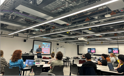
First presentation
From: Pete Master, Special Projects Advisor at the Humanitarian OpenStreetMap Team (HOT)
Title: Mapping for Better Humanitarian Action and Development Work
Pete presented on HOT’s humanitarian mapping efforts in Myanmar, highlighting challenges in AI-derived datasets. While data from Google and Overture exists, the accuracy of building outlines is questionable, prompting HOT to use MapSwipe for quality assessment.
He explained the various ways to engage with HOT, including OpenStreetMap and Tasking Manager, which allow volunteers to contribute remotely. Martin Parham noted that 90% of activations are supported remotely. However, MapAction deploys volunteers onsite.
Pete also discussed open conflict damage mapping, citing Ukraine’s OSM community’s request to stop mapping to prevent Russian exploitation. He detailed remote sensing damage analysis, including Synthetic Aperture Radar (SAR) for assessing building destruction in areas like Gaza and Lebanon.
He discussed building next-level local data capabilities in Sierra Leone, emphasising its role in capturing high-resolution imagery, particularly in flood-prone regions. He cited Freetown City Council’s initiative to empower local residents by training drone pilots and using open-source technology to map the entire city of Freetown, creating jobs, building skills, and generating high-resolution imagery.
Donna Sherman raised a question about where the data is stored. Pete explained that the Freetown City Council intends to make the data open, with all imagery to be stored on OpenAerialMap. He added that the data does not contain any military infrastructure and has been cleared by the presidential office.
Finally, Pete encouraged participants to join HOT Tasking Manager and MapSwipe, an open-source mobile app that helps make mapping efforts around the world more coordinated and efficient.
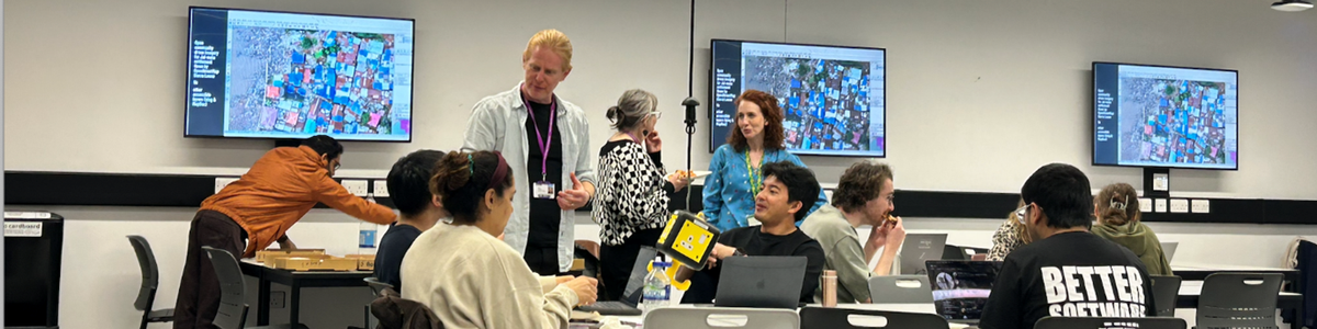
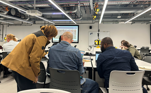
Mapathon
Led by: Pete Master
The practical mapathon session allowed participants to engage in hands-on mapping using OpenStreetMap. Beginner mappers worked on the Wetlet Township buildings mapping (https://tasks.hotosm.org/projects/18590), while those with more experience contributed to the NayPyiTaw buildings mapping (https://tasks.hotosm.org/projects/18917). Meanwhile, participants enjoyed pizza as they collaborated, shared tips, and networked in a relaxed and friendly atmosphere.
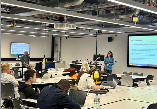
Second presentation
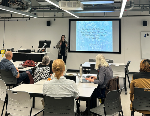
From: Dr Kirsty Watkinson
Title: Improving the Efficiency, Enjoyment, and Efficacy of Humanitarian Map Data Collection
Kirsty presented her PhD research programme, discussing how an open AI-assisted mapping service can enhance the efficiency and accuracy of mapping efforts. She also explored the use of game design elements in non-game contexts.
Related Links:
Groß, S., Herfort, B., Marx, S., and Zipf, A.: Exploring MapSwipe as a Crowdsourcing Tool for (Rapid) Damage Assessment: The Case of the 2021 Haiti Earthquake, AGILE GIScience Ser., 4, 5, https://doi.org/10.5194/agile-giss-4-5-2023
Shakib, M. S., Solís, P., & Varfalameyeva, K. (2024). Mapswipe for SDGs 3 & 13: take urgent cartographic action to combat heat vulnerability of manufactured and mobile home communities. International Journal of Cartography, 1–23.
https://doi.org/10.1080/23729333.2024.2359074
Herfort, B., Reinmuth, M., De Albuquerque, J., Zipf, A., 2017. Towards evaluating crowdsourced image classification on mobile devices to generate geographic information about human settlements.
Dagoberto José Herrera-Murillo, Héctor Ochoa-Ortiz, Umair Ahmed, Francisco Javier López-Pellicer, Barbara Re, Andrea Polini, and Javier Nogueras-Iso. 2025. Collective Intelligence in Humanitarian Voluntary Geographic Information: The Case of the HOT Tasking Manager. ACM Trans. Comput.-Hum. Interact. Just Accepted (May 2025). https://doi.org/10.1145/3733600
Herfort, B., Lautenbach, S., Porto de Albuquerque, J. et al. The evolution of humanitarian mapping within the OpenStreetMap community. Sci Rep 11, 3037 (2021).
https://doi.org/10.1038/s41598-021-82404-z
Huck, J. J., Perkins, C., Haworth, B. T., Moro, E. B., & Nirmalan, M. (2020). Centaur VGI: A Hybrid Human–Machine Approach to Address Global Inequalities in Map Coverage. Annals of the American Association of Geographers, 111(1), 23121.
https://doi.org/10.1080/24694452.2020.1768822
Closing remarks
From: Dr. Gail Millin-Chalabi
At the end of the event, Gail kindly thanked everyone who attended and contributed, she encouraged participants to join the GISMEO community via the Teams channel, to subscribe to the RIT newsletter, and to share their valuable feedback to help the GISMEO community to improve.
For members of staff the presentations from the event can be accessed in the CaDiR Teams space
.