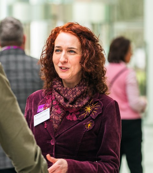
Dr Gail Millin-Chalabi, Project Manager and Co-I Researcher, is a GISMEO co-lead.
Here's a snippet from a recent interview where we get to know more about Gail and her passion for geospatial science:
Please share a highlight from your GIS research.
One of the most exciting moments in my GIS research was discovering that RADAR data could be used to monitor and detect burnt areas in upland moorlands. This was groundbreaking because it hadn't been done before, and there was no existing literature on the subject. I remember presenting this finding to my supervisor and realising that I had a solid foundation for my PhD research, which I pursued in 2009.
Fast forward to 2018, during a significant moorland wildfire season in the UK at Saddleworth Moor, I went into the field with other researchers to survey the site. This experience led to a media interview on the BBC One Show and developing a start-up called EnviroSAR Ltd.
Through this work, I connected with many pyro-geographers from various UK universities. These connections have been invaluable for my current research on the NERC-funded UK Fire Danger Rating System (UKFDRS).
What do you enjoy the most about GISc?
From a young age, I've been fascinated by maps. I remember asking my parents for a light-up globe from Woolworths when I was a kid which I still have now. I've always been interested in places, people, environment, and the world. GISc allows me to explore what's happening globally through spatial patterns and processes, helping to solve real-world problems.
Additionally, I'm quite artistic—my granddad was an oil painter, and I enjoy watercolour painting. GISc beautifully intersects science and the arts. Cartography, in particular, is very artistic, providing a wonderful outlet for creativity.
What challenges do you find in GISc?
Finding the right tools for the job, understanding the correct processes, and formatting data can be challenging for anyone, regardless of experience.
Looking ahead, a significant challenge will be upscaling our analysis and performing more real-time analysis using new technologies like GeoAI. I'm always keen to be at the cutting edge of innovation.
Another challenge, particularly in Earth Observation (EO), is managing the sheer quantity of data and figuring out how to make the most of these fantastic satellite datasets.
How did you become a specialist in GISc?
I started with a degree in Geography, followed by an Environmental Monitoring Modelling and Reconstruction Masters. I then saved up some money and flew to America to explore opportunities there. I ended up volunteering for the United States Geological Survey (USGS) in California, which led to a job offer. They flew me to Washington State for training on ArcIMS, HTML, and ArcXML to create maps, working with the Earthquake Hazard Team.
Back in Manchester, I worked for the Landmap Service, where I gained significant experience in remote sensing, particularly RADAR image processing. I also travelled to Italy and Germany for training in Synthetic Aperture Radar (SAR). In 2009, I negotiated to have Fridays off each week to pursue my PhD in burn scar characterisation and mapping using multitemporal and multisensor SAR.
Why is GISMEO important to you?
Two of my core values are:
- Caring for the environment
- Supporting training and knowledge of others
The GISMEO community addresses both of these values by bringing together skills to tackle key issues like Sustainable Development Goals and achieving net zero. It allows us to coordinate expertise and build communities of common interest. Additionally, it provides a platform for people like me to share what we've learned along our journey, helping as many people as possible. Passing on training and skills is crucial—it's about taking others on the journey with us. This community is an excellent way to do that.
What would you like the GISMEO Community to achieve in the next 12 months?
I would love to see it become a vibrant, sharing space with plenty of attendance at events, creating a knowledge bank through online blogs. It should be a place where people can start new journeys together, make new connections across schools, and document these efforts to show that the GISMEO community is thriving.
The GISMEO community aligns strongly with the Skills and Workforce Development theme which I lead for the Research Lifecycle Programme, and I am exploring how we can link these initiatives.
Fun fact?
I have a bit of an obsession with Beatrix Potter. She was both a scientist and an artist, which I really respect about her. She cared passionately about conservation and the environment. We wouldn’t have the Lake District we have today without her. She loved rabbits, and so do I. I have had pet rabbits since I was a child, and I still have a house rabbit called Chestnut. There are lots are things that make me feel like I have an affinity with Beatrix Potter!
Please join the CaDiR - GISEMO Community Teams channel for updates on all GISMEO events, talks and topics.